
|
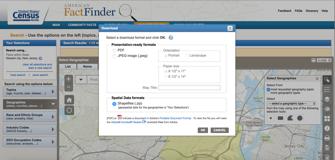
Downloading geographic boundary shapefiles from the U.S. Census Bureau is straightforward. Here's how to do it for any location in the United States. This is also a simple way to get "study area" shapefiles for Risk Terrain Modeling (RTM). 1. Open American FactFinder (http://factfinder.census.gov) 2. Click on "Advanced Search" (menu options at the top of the screen) 3. Search for a geography in the "state, county, or place" text box (E.g. Newark city, New Jersey)
4. Click on "Geographies" tab on the left side of the webpage, then click on the "Maps" tab 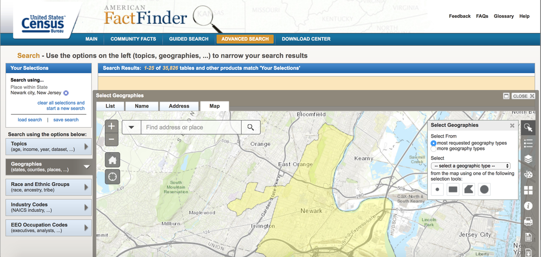
 Video Tutorial for Downloading Boundary ShapefilesComments are closed.
|

 RSS Feed
|
|
The official website of Risk Terrain Modeling (RTM) research and resources, based out of Rutgers, The State University of New Jersey.
|