|
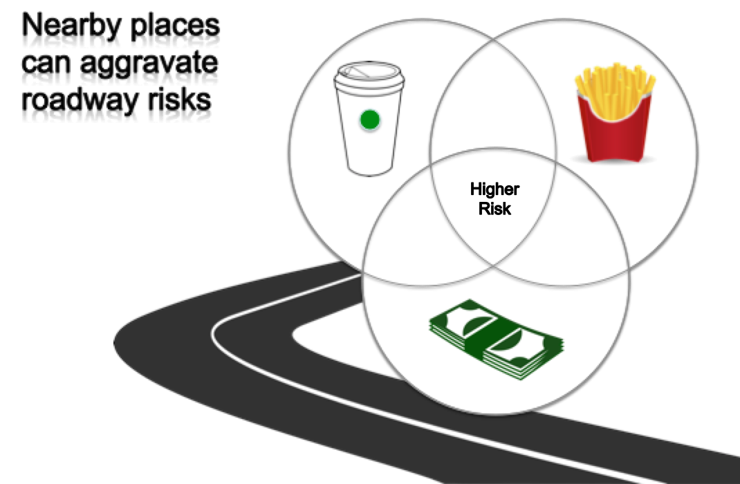
Hazardous road conditions, dangerous intersections, intoxication, fatigue or distracted driving are commonly linked to motor vehicle crashes. Geo-spatial factors can also influence driver behaviors and, therefore, increase the risks of crashes along certain sections of roadways, particularly where these factors co-locate. For example, a risk narrative might be: drivers are anxious or in a rush to arrive at the stores to get their coffee, and then leave coffee shops or cafés or convenience stores while simultaneously pouring creamers, adding sugars, or reapplying the lids one-handed; drivers may exit bank drive-thrus while counting money or putting cash in wallets or purses; or drivers may pick at the french fries, open dipping sauces, or attempt to eat full meals upon exiting fast food takeout restaurants. These and other environmental features can influence driver behaviors and aggravate roadway risks at places nearby where they interact. Risk Terrain Modeling can help to diagnose these environmental hazards and identify roadways that are most vulnerable. Then use professional judgement, expertise, and evidence-based practices to solve these problems through risk reduction strategies. This 2018 research study showed that RTM can also fit within a DDACTS framework to provide law enforcement with guidance for identifying places where vehicle crashes are likely to occur in the future. RTM's focus on where and why provides insights for multi-stakeholder partnerships capable of preventing traffic crashes and related injuries. Comments are closed.
|
|
|
The official website of Risk Terrain Modeling (RTM) research and resources, based out of Rutgers, The State University of New Jersey.
|


 RSS Feed